One of the most active volcanoes in Japan, Mt. Kusatsu Shirane has been closed to the public the past couple of years. But it has opened in 2022, and of course off to the summit I went.
Budget: JPY11,900 (~USD113) from Tokyo
When to Go
I see no logs from late November til late April, which means even the Japanese don't hike during that period. I saw about three logs for February 2011, but I'd say those are outliers.
Special Notes
Budget: JPY11,900 (~USD113) from Tokyo
- JPY6,120. Round trip bus, Shinjuku Station to Nagano Station, using the Willer Bus Pass.
- JPY2,380. Roundtrip train, Nagano Station to Yudanaka Station. (JPY1,190 one way)
- JPY3,400. Roundtrip bus, Yudanaka Station to Shirane-kazan Stop. (JPY1,700 one way)
- OR JPY8,500ish if via car. This is our share in gas, tolls and hostel.
- April 2, 2022
- Difficulty: 3 out of 5, as it was done as a winter hike and out of the official trails.
- Otherwise, maybe 1.5 out of 5?
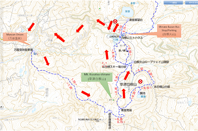
- Route below is around 9.3kilometers, with an elevation change of ▲841m/ ▽840m (4h46m) based on this log, though on my end we took a shortcut and went down via the road.
- Map Link
I see no logs from late November til late April, which means even the Japanese don't hike during that period. I saw about three logs for February 2011, but I'd say those are outliers.
Special Notes
- Regarding the summit. This mountain confused me, as there's no summit marker. Apparently, the summit is off the trail, and is not part of the maps I checked (yamap and yamakei) as the trail is officially off-limits.
- However, the trail is definitely clear cut, and can be easily followed by those interested. At your own risk, of course.
- The summit marker is also not easy to see, as some in our group missed it. The marker is hidden in the trees, so check the map regularly. Once you are around the crater, be alert. You can see where the summit is in the drone video I linked above.
- Most people "hike" this mountain and just go around Yugama Lake (湯釜). It's a beautiful lake, but not the summit.
- Weather forecast: Japanese / English
- Volcanic activity. Make sure that the current volcanic warning for Kusatsu Shirane is not at level 4 or 5.
- Trailhead. .
- Shirane-kazan Bus Stop/Parking (白根火山). Here's the google maps pin.
- Train, Nagano Station to Yudanaka Station (湯田中駅).
- Bus, Yudanaka Station to Shirane-kazan Bus Stop. Bus schedule here (just look for 【K】), JPY1,700 one way. As point of reference, for 2020, buses ran from April 21 to December 4, but was cancelled as of 2020 given the road restrictions.
- Bus schedule: There are five buses:
- 08:10am -> 09:22am
- 09:45am -> 10:57am
- 10:45am -> 11:56am
- 12:30pm -> 01:42pm
- 02:00pm -> 03:12pm
- Return buses are about 7-15 minutes from the arrival time above.
- Manza Onsen (万座温泉). This was open for 2022, which allowed me to finally summit Kusatsu Shirane.
- via private transport. Google maps pin. Free parking lot, but if coming via private car, there are a LOT of tolls. We went in winter and had to pay JPY1,070 at one of the tolls, though we noted other two tolls that were closed for winter.
- via public transport. I'm hard pressed to call this "public transportation"... but there technically is a bus that goes there... Once a day. At 2pm. Definitely designed for people staying in one of the Japanese inns in the area, and if you are staying in one of the inns, chances are there IS a pick up service.
- Tokyo to Karuizawa Station. There is the Tokyo Wide Pass for bullet trains, local trains or buses (around JPY2,l000 one way)
- Bus, Karuizawa Station (軽井沢駅) to Manza Bus Terminal (万座バスターミナル). Bus schedule here.
- 09:22am. ETA: Shirane-kazan Bus Stop.
- 09:30am. Start hike.
- 09:15am. Reach the lake.
- 10:15am. Back to bus stop.
Actual Log
We had a private vehicle, and drove to Manza Onsen. We took our time and had plenty of breaks.
We had a private vehicle, and drove to Manza Onsen. We took our time and had plenty of breaks.
- 05:00am. Left Tokyo.
- 09:30am. Arrived at the parking lot, started preparing and started our hike.
- 01:00pm. Arrived at the summit.
- 02:30pm. Arrived at Yugama Lake.
- 04:49pm. Back at the parking lot.
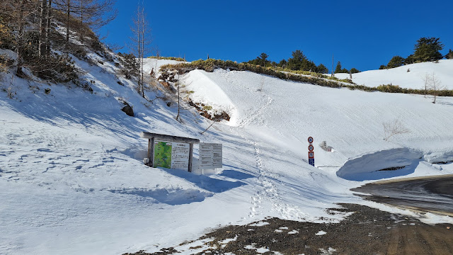 |
| The trail starts at the right side of this sign, behind the bushes. If nobody has broken the trail, I have no idea how I would have had found the path. |
 |
| The view a bit farther. |
 |
| Behind the bushes was a very steep ascent. For less than 5 minutes. |
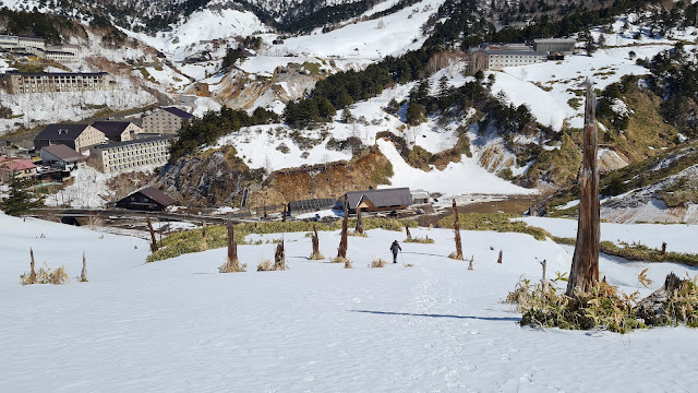 |
| Looking down the parking lot. |
 |
| Following the trail. |
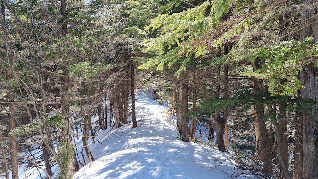 |
| Some ridge walk. |
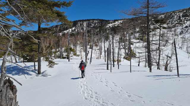 |
| Continuing on. |
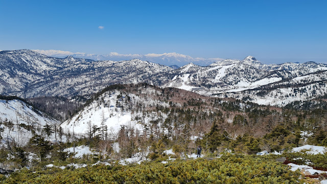 |
| Finally above tree line! With gorgeous views. |
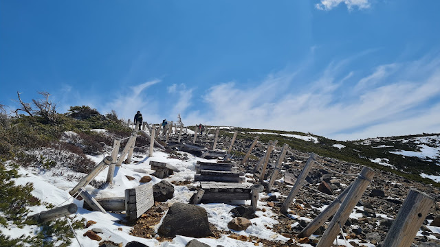 |
| There's a very short (10 meters?) section with stairs that was fenced in. We went up a bit. |
 |
| The trail to the summit was to the left. |
 |
| We mainly followed the trail someone else has made. |
 |
| Summit! |
 |
| Continuing on. I am quite scared of heights so this was not fun for me haha. |
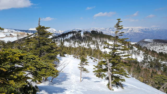 |
| The descent was pretty not-steep. |
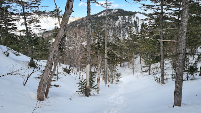 |
| Solidly back in treeline. |
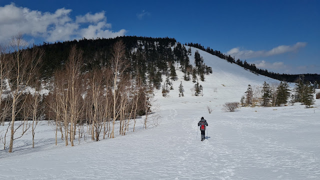 |
| Out of the section that is not in the yamap trails. |
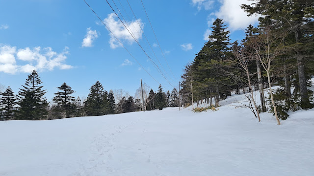 |
| Maybe this is a road? |
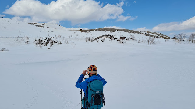 |
| Crossing a small frozen lake. |
 |
| Yugama lake! That was such a gorgeous place. |
 |
| Time to head back. |
 |
| Had to follow the main road this time. |
 |
| Is this Tateyama Alpine Route? Nope. Haha. |
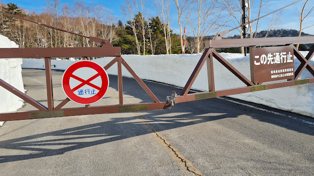 |
| The road we took was off limits to cars. |
 |
| The third kamoshika we saw on the road. |
 |
| Mt. Asama! Much prettier from a distance. Been here before (way before my blogging days though haha) |
%20Mt.%20Kusatsu-shirane.JPG)
Hi! Thanks for sharing your experience. I want to hike Mt Kusatsu-shirane from Kusatsu town, do you think is possible? Is the road close because of the volcano activity? Thanks in advanced!
ReplyDeleteHi! I would recommend checking if anyone else has done the route - here's the latest logs:
Deletehttps://yamap.com/mountains/171/activities
With Kusatsu Shirane, I'd follow what others do more than what the maps say. Haha. I personally haven't seen a route from the Kusatsu town proper in the maps, but someone mentioned in passing that it can be done (not verified).
May I ask if Mt Shirane is still open? Do they have like a site where I can ask locals about all I need to prepare. Did you have a joiner hike group when you went there?
ReplyDeletebased on the logs, it's open (https://yamap.com/mountains/171/activities) as of Dec 10, 2022.
Deletewhat do you mean about what you need to prepare? i think you just need spikes and you should be ok. you'll be within tree line the entire time. but make you have the map (yamap works)
I'm jealous. It's closed now. Kusatsu Shirane is offlimits. I hiked up to Hon Shirane from the other side at the beginning of February because, after looking at someone else' report on YAMAP, it looked like the trails were open up to there.
ReplyDeleteI found out later that I was trespassing and made a lot of people mad. Oops. I do wish I got to see the crater like you did, but it was a beautiful hike.
oh darn. it'll open again soon enough (fingers crossed), and hope you get a chance to visit then!
Delete